Start early
North Shore Road parking fills quickly. Early arrival also gives you cooler trail conditions and a calmer start.


Plan a north-shore classic, a turtle-watching morning, or a more adventurous hike-to-the-water day inside Virgin Islands National Park.
23 BEACHES · National park scenery · Snorkeling · Hiking · Quiet covesNorth Shore Road parking fills quickly. Early arrival also gives you cooler trail conditions and a calmer start.
Some beaches sit beside the road; others require a trail, rough road, boat access, or a confident swim.
Use reef-conscious products, keep distance from turtles, carry out what you bring, and follow current park guidance.
Open any beach for planning notes, location details, map directions, and the official source.
A world-famous Virgin Islands National Park beach with a marked underwater snorkel trail, lifeguards, showers, rentals, and concessions.
Open beach details
One of St. John's longest beaches, with swimming, snorkeling, watersports, a campground, food, and nearby plantation ruins.
Open beach details
A shallow, protected bay known for sea turtle sightings, paddleboarding, family-friendly water, and roadside access.
Open beach details
A palm-fringed beach reached by boat or the Lind Point Trail, with shallow water, patch-reef snorkeling, and seasonal concessions.
Open beach details
A small white-sand beach reached on the Lind Point Trail, with clear water and reef snorkeling but no full-service amenities.
Open beach details
An easily reached national-park beach with roadside parking, picnic tables, shade, and coral fingers close to shore.
Open beach details
A beautiful, limited-access shoreline with very little parking; arrive prepared and respect posted property boundaries.
Open beach details
A small cove reached by a short trail from North Shore Road, with limited parking and no services.
Open beach details
A secluded north-shore beach reached by trail, valued for quiet surroundings and a sense of distance from the road.
Open beach details
A broad, quieter national-park beach with generally gentle water, picnic areas, nearby trails, and good wildlife watching.
Open beach details
A pebbly and sandy shoreline reached along the Leinster Bay Trail, used as the approach to Waterlemon Cay snorkeling.
Open beach details
A celebrated offshore snorkeling destination reached from Leinster Point; currents require strong swimming judgment.
Open beach details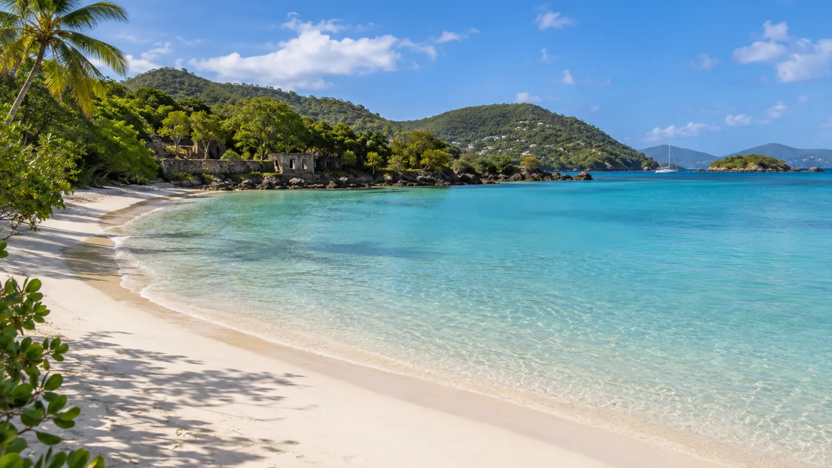
A white-sand national-park shoreline reached via the Caneel Spur and Lind Point trail network, with reef habitat close to shore.
Open beach details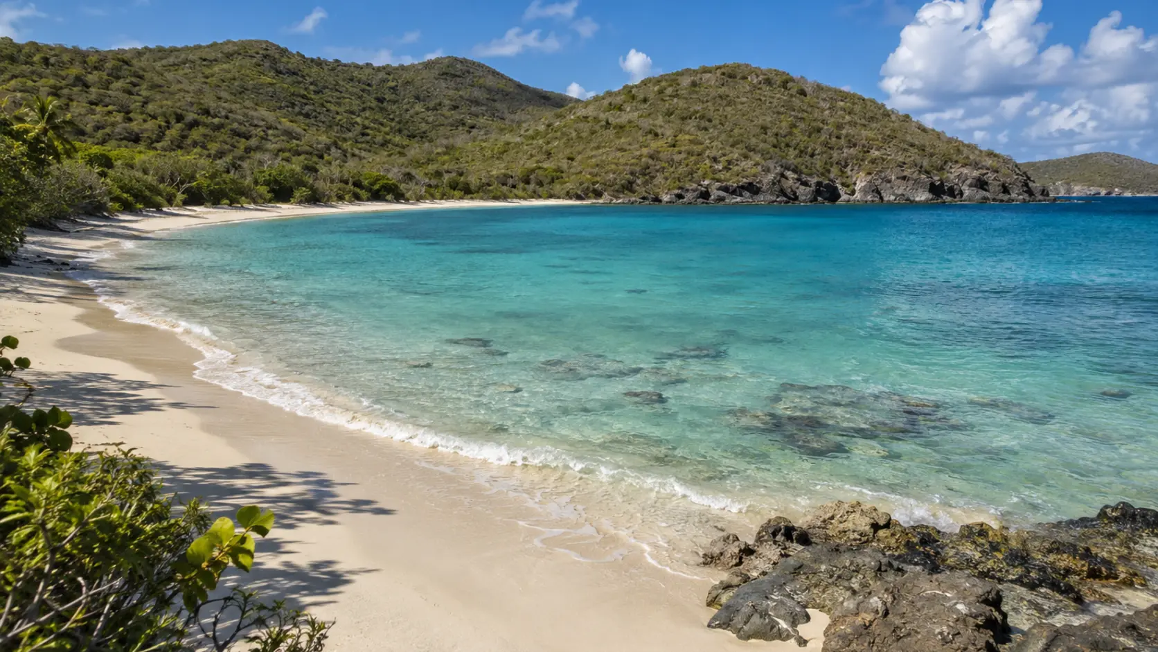
A protected south-side bay reached by a short rocky trail, often paired with snorkeling or the Ram Head hike.
Open beach details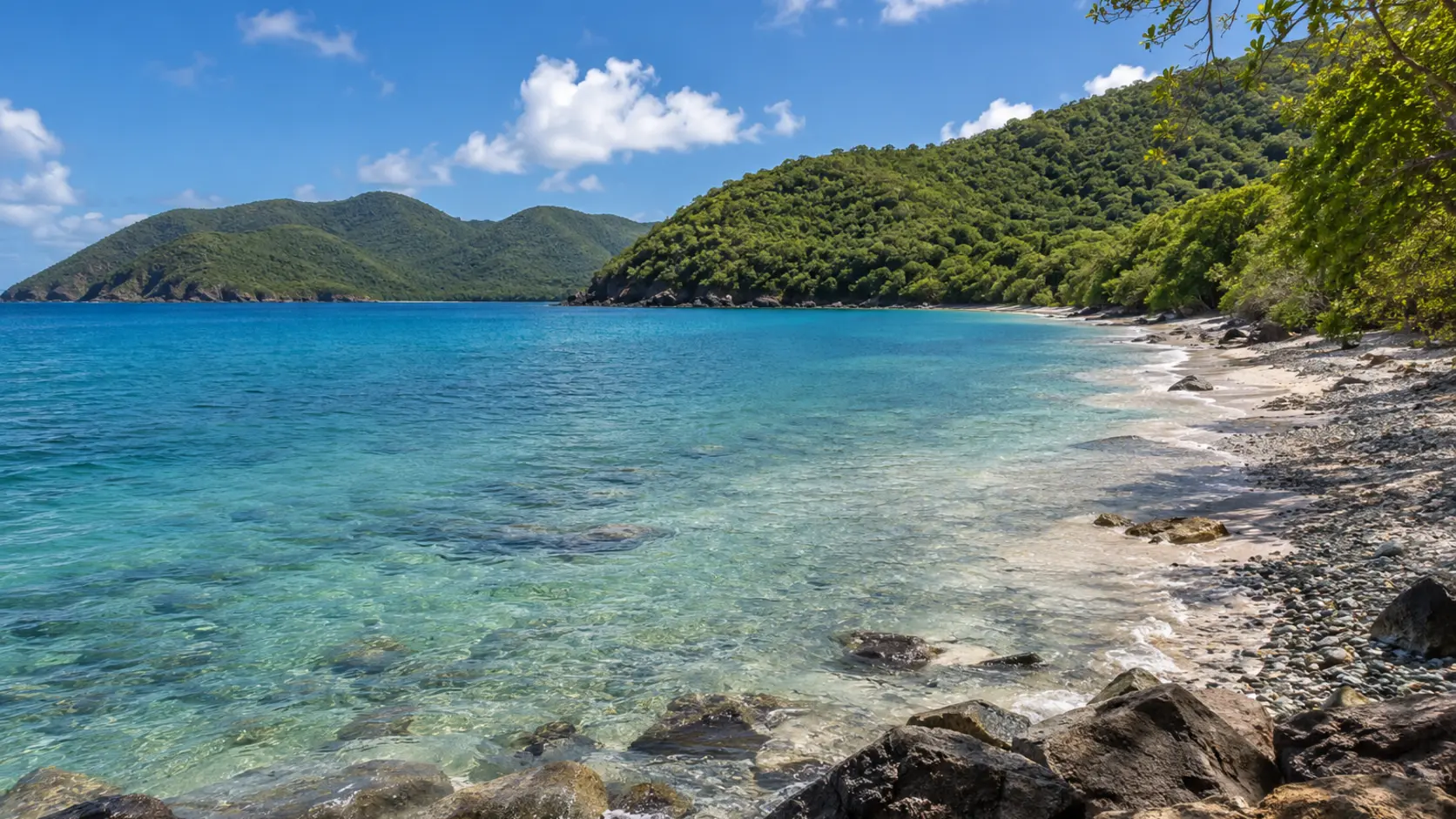
A remote national-park bay reached over an unpaved road, with shoreline access, trails, and limited facilities.
Open beach details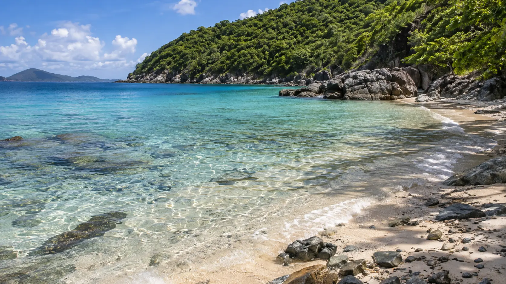
A quiet south-shore beach and trailhead in Virgin Islands National Park, reached by a rough road and best visited prepared.
Open beach details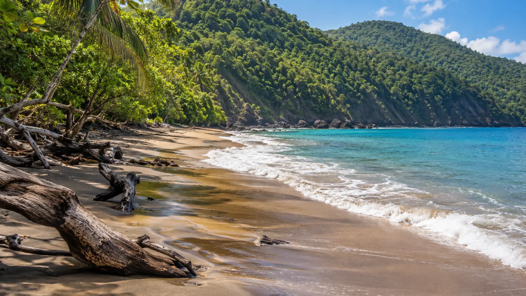
The remote beach at the end of the Reef Bay Trail, surrounded by national-park landscapes and historic plantation remains.
Open beach details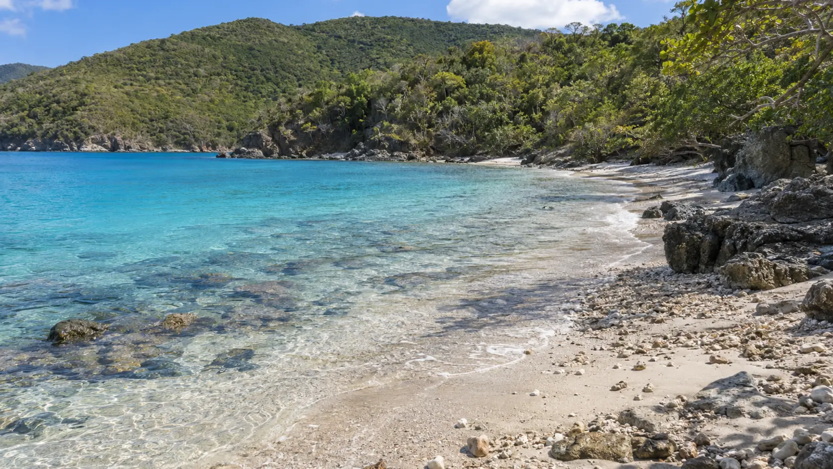
A secluded national-park shoreline near the Lameshur area with no services and access that rewards careful trip planning.
Open beach details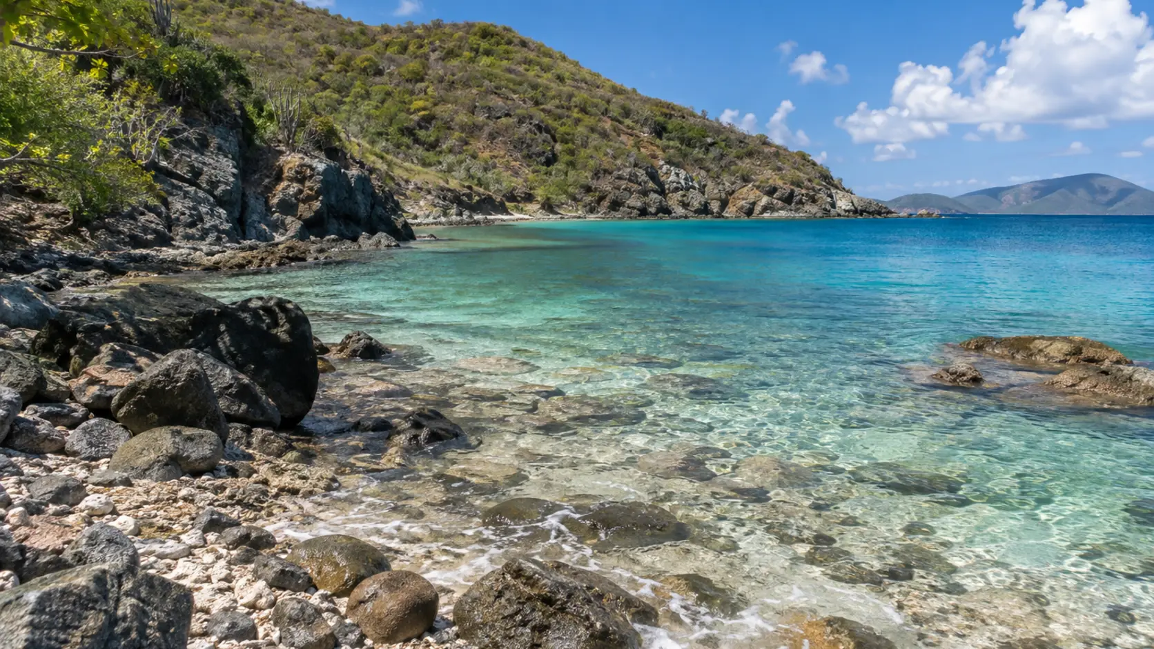
A rocky, quiet southeast cove favored by prepared snorkelers when conditions are calm.
Open beach details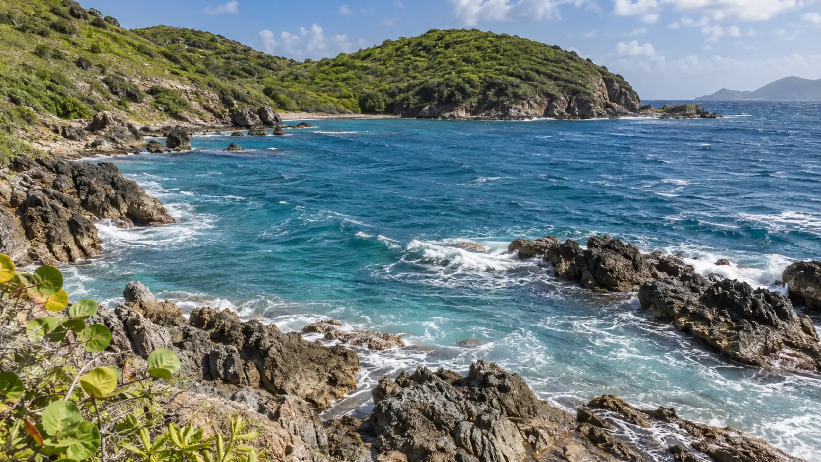
A rugged Atlantic-side cove known for snorkeling when wind and swell permit; conditions can be challenging.
Open beach details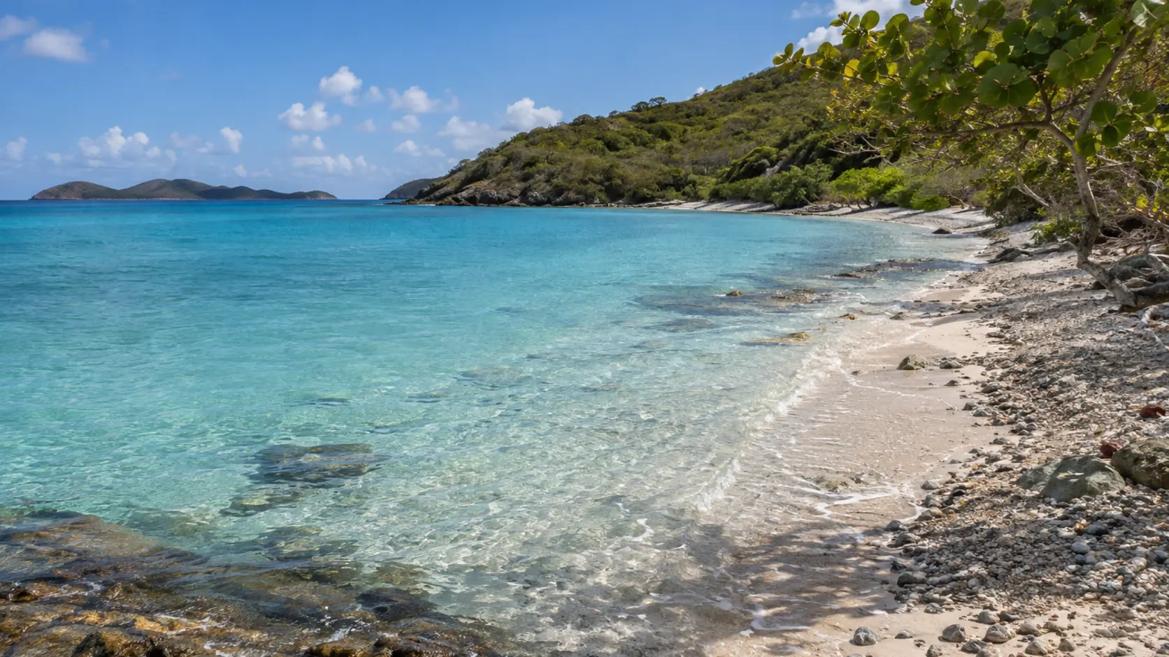
A calmer, less-developed shoreline on the south side of the East End isthmus, with no visitor services.
Open beach details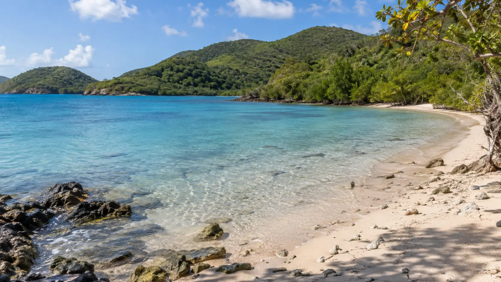
A remote beach reached on the Brown Bay Trail, combining hiking, historic landscapes, and a quiet shoreline.
Open beach details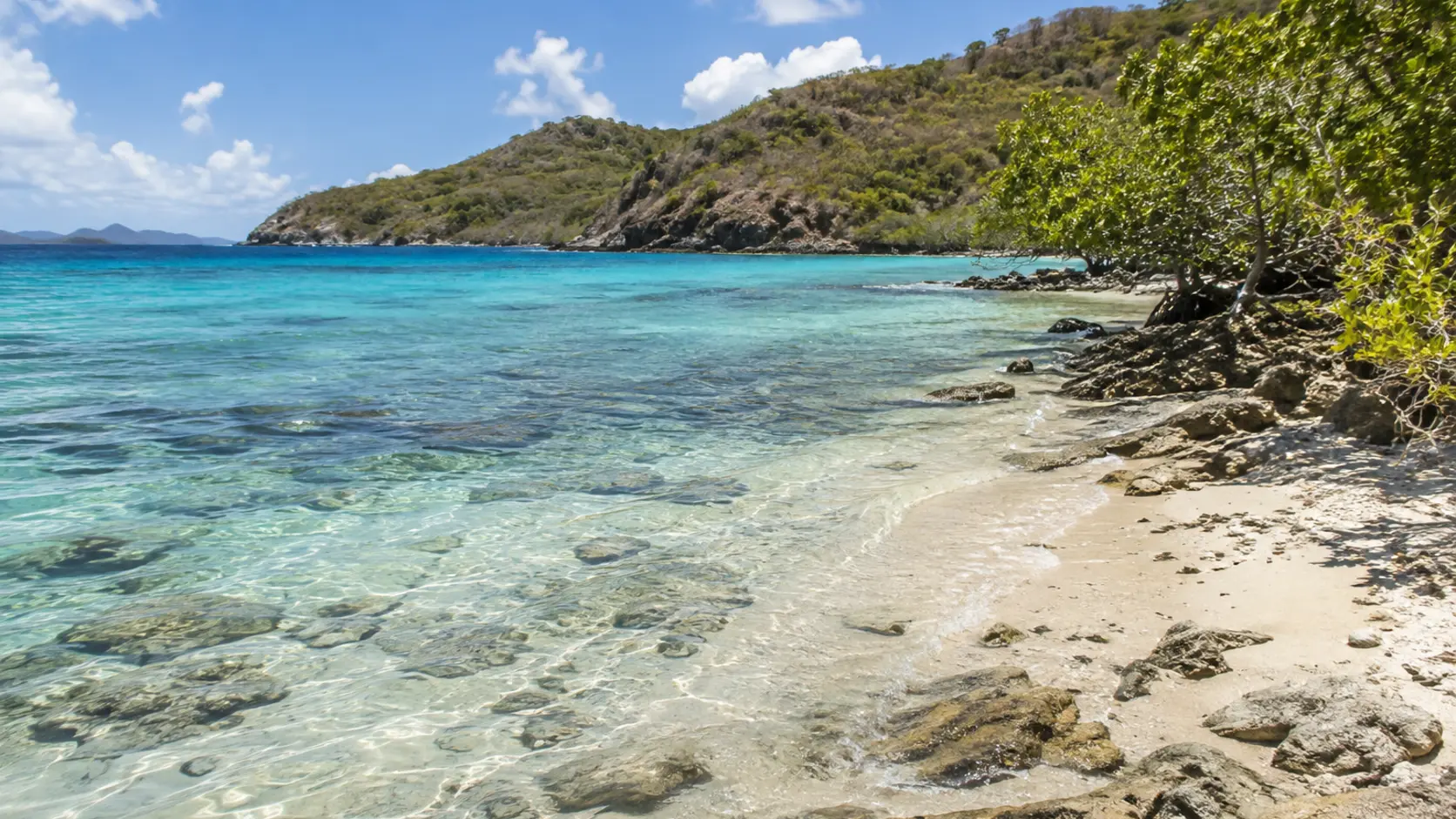
A secluded East End shoreline generally reached by boat or local access routes, with no amenities.
Open beach details