Plan by side
West End beaches pair naturally with Frederiksted; East End preserves and Point Udall deserve their own outing.


Explore the island's diving coast, calm Frederiksted water, East End preserves, public beach parks, and the boat-only beauty of Buck Island.
20 BEACHES · Diving · Sunsets · Nature preserves · Spacious shorelinesWest End beaches pair naturally with Frederiksted; East End preserves and Point Udall deserve their own outing.
Sandy Point, nature preserves, and Buck Island have seasonal, permit, operator, or conservation rules.
North-shore diving and snorkeling can change quickly with swell. Use a local operator when experience or access is uncertain.
Open any beach for planning notes, location details, map directions, and the official source.
A palm-lined beach famous for shore diving and snorkeling near the dramatic Cane Bay Wall, with restaurants and dive services nearby.
Open beach details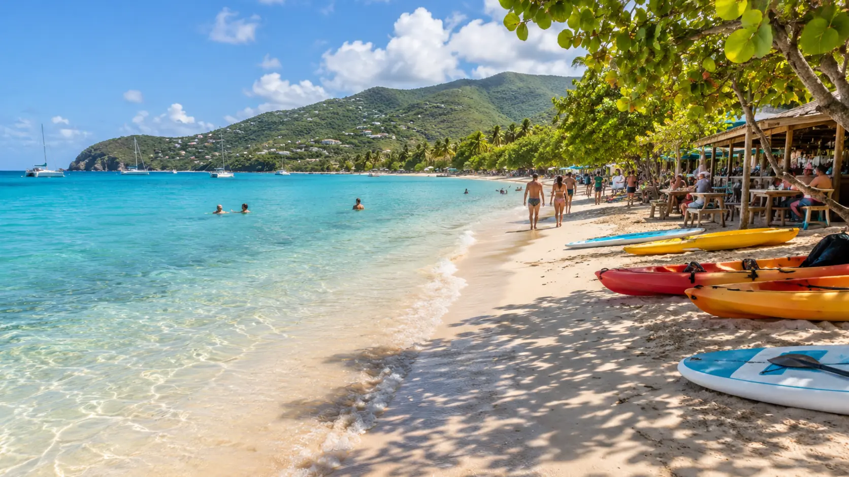
A lively West End beach with calm water, watersports, food, live music, and strong sunset views.
Open beach details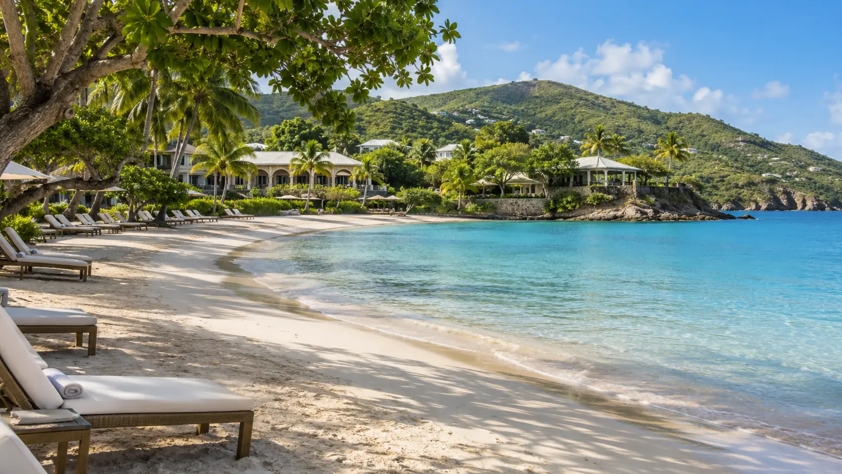
A manicured resort beach with gentle swimming, water activities, shade, and food service; confirm current day-visitor access.
Open beach details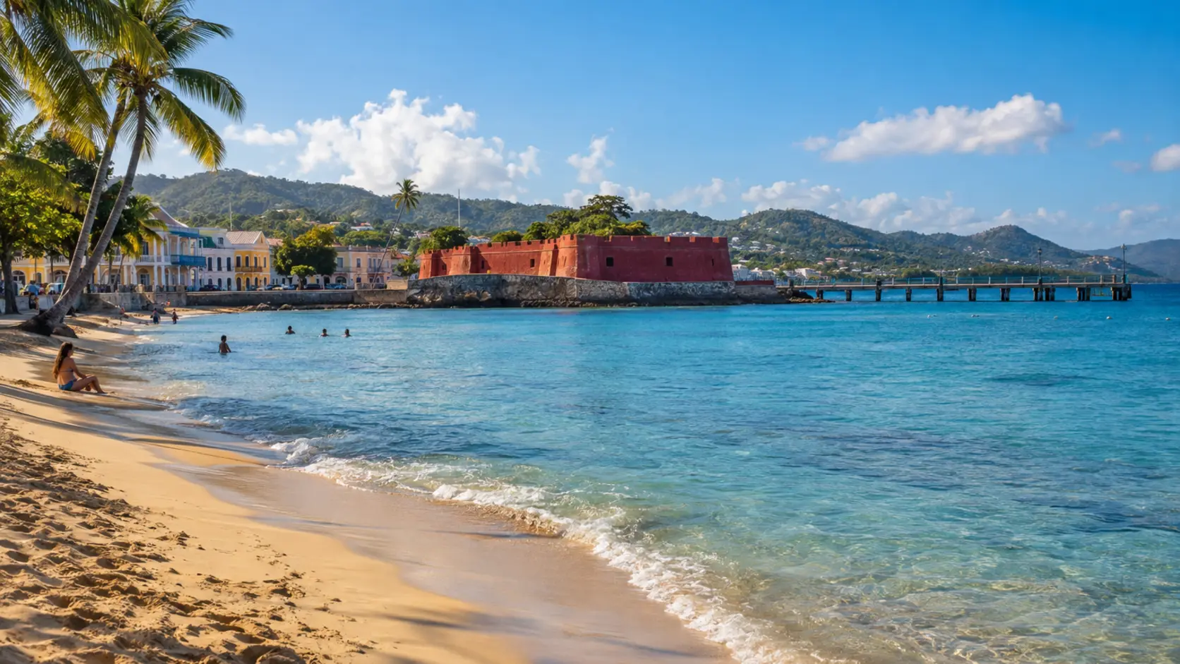
A convenient town beach beside Frederiksted's waterfront and historic fort, popular for swimming, snorkeling, and sunset walks.
Open beach details
A pristine coral-sand beach reached only by authorized boat trip within Buck Island Reef National Monument.
Open beach details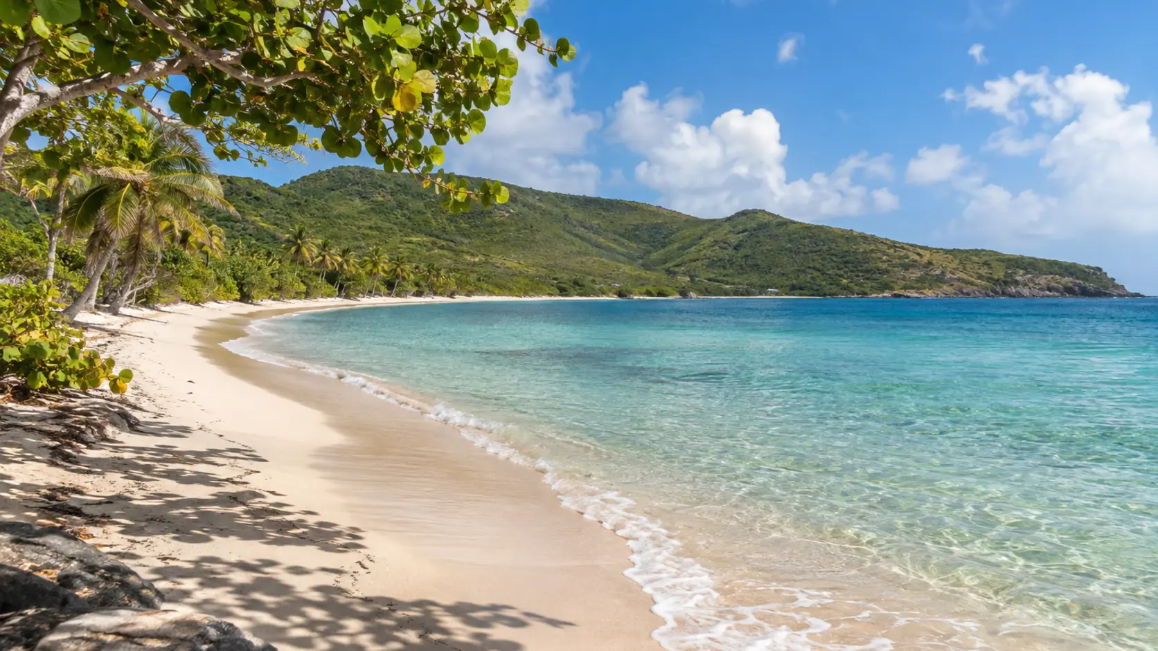
A long, usually quiet East End beach reached through a residential access point, with no concessions.
Open beach details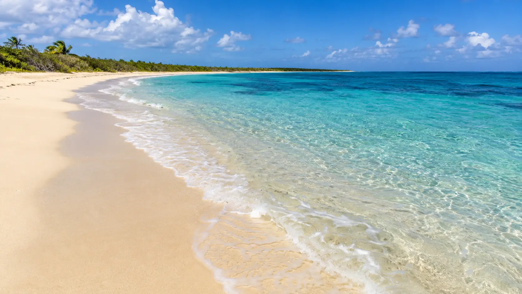
A spectacular seasonal shoreline within Sandy Point National Wildlife Refuge, protected for sea turtle nesting with restricted hours and closures.
Open beach details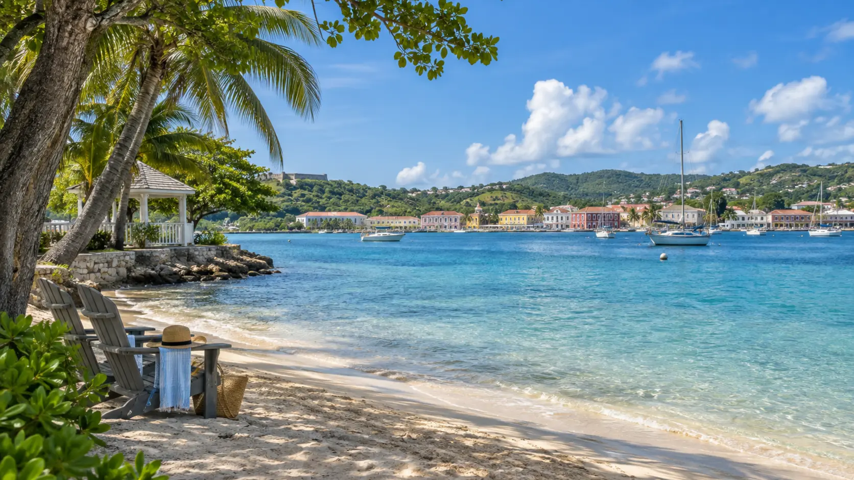
A small island beach reached by a short ferry from Christiansted, with harbor views and resort services.
Open beach details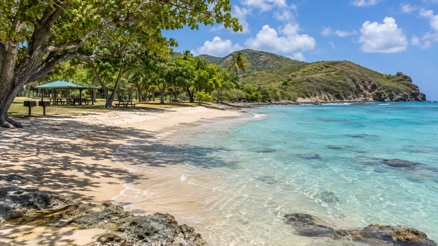
A family-friendly public beach park near Point Udall with shallow water, shade, pavilions, grills, restrooms, and accessible paths.
Open beach details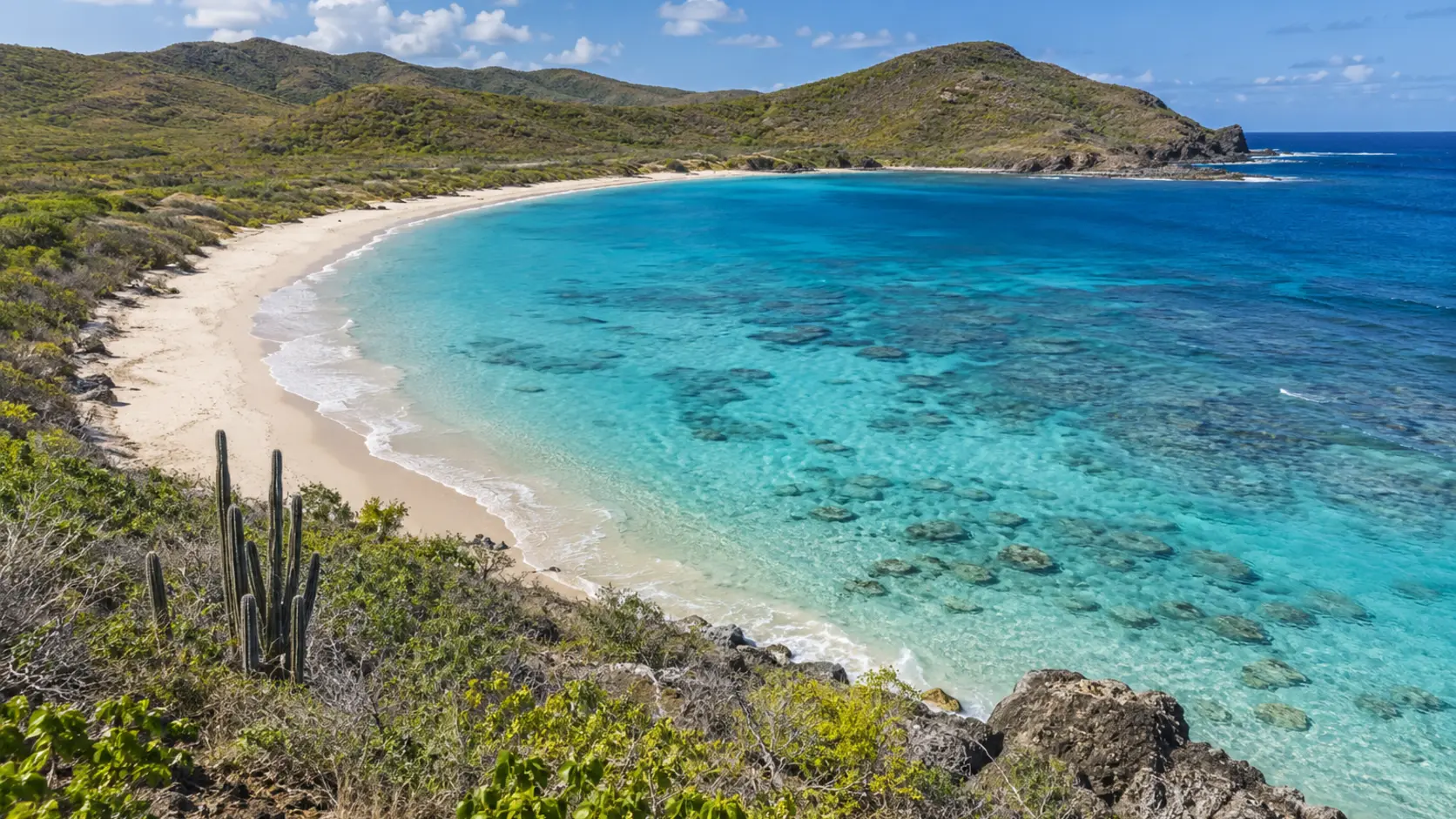
A protected, undeveloped beach reached by hiking through the Jack and Isaac Bay Preserve.
Open beach details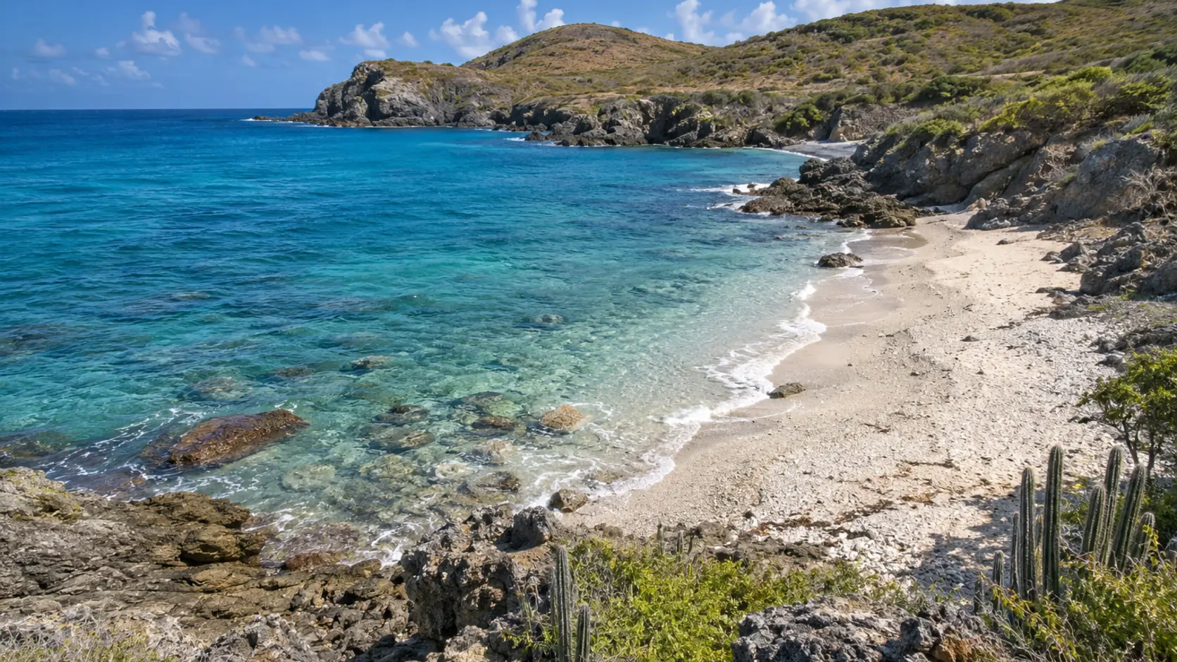
A secluded preserve beach reached on foot, with sensitive habitat and no visitor services.
Open beach details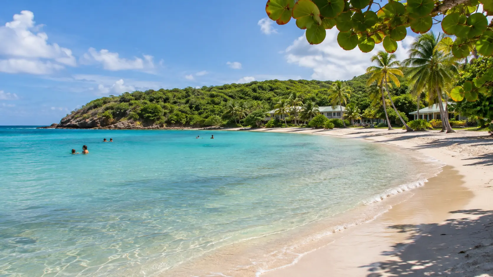
A protected East End bay with generally easy swimming and resort facilities nearby; verify current public access and services.
Open beach details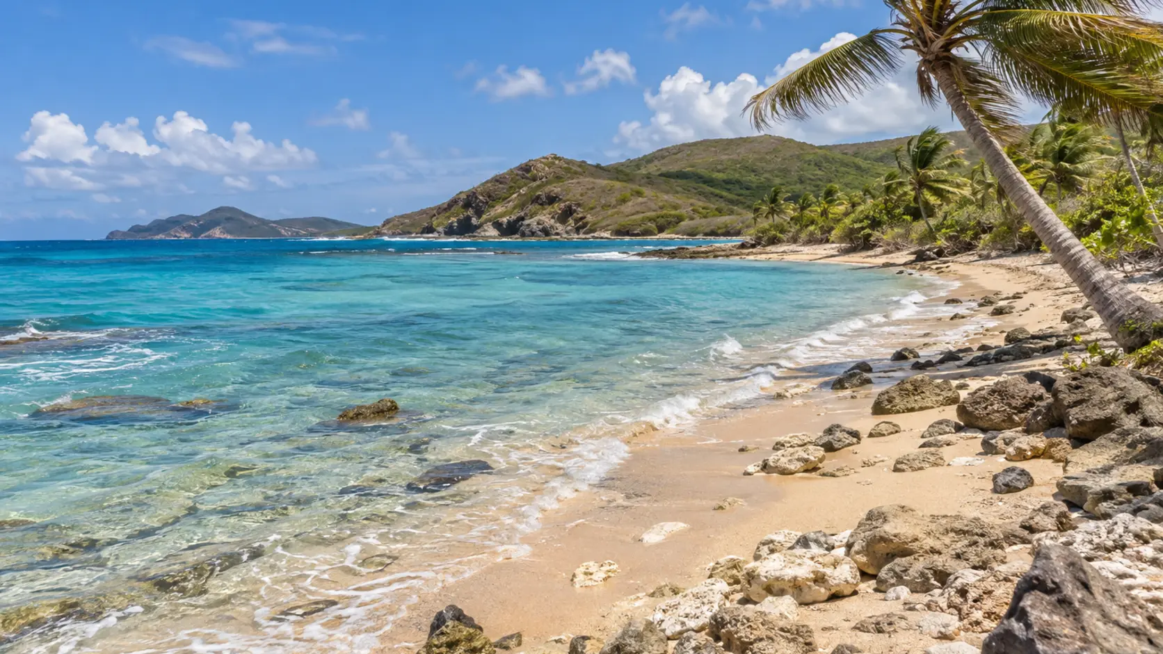
A breezy East End shoreline near resort properties and the road to Point Udall.
Open beach details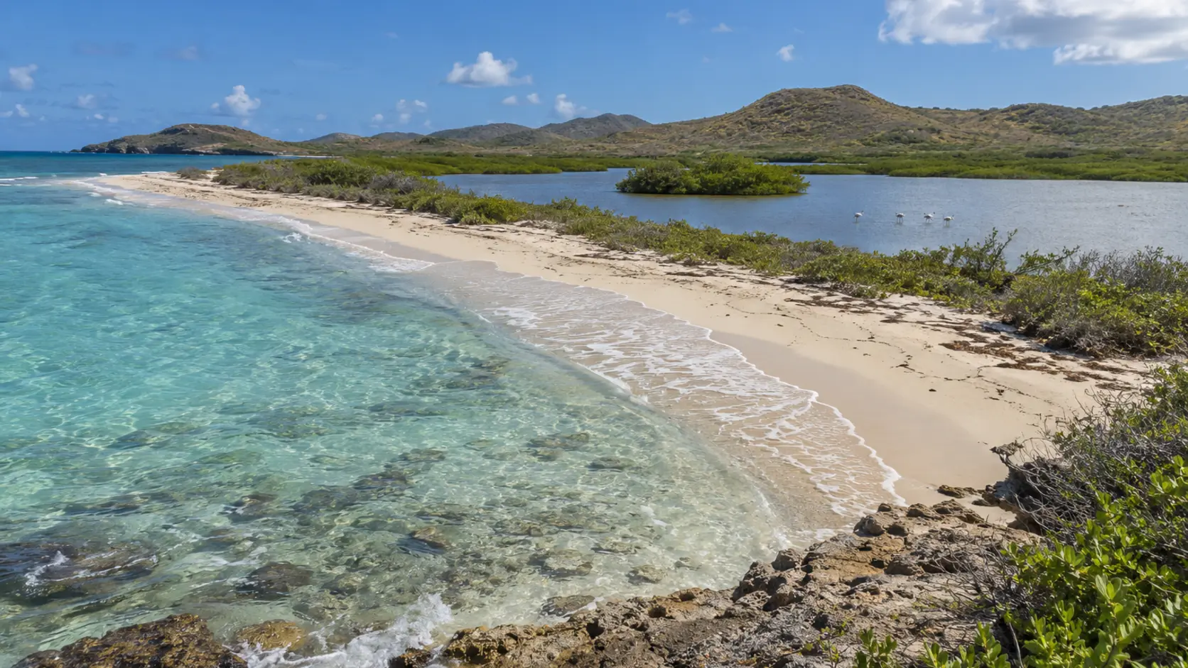
A protected coastal area with salt pond habitat, birdlife, and a natural shoreline managed for conservation.
Open beach details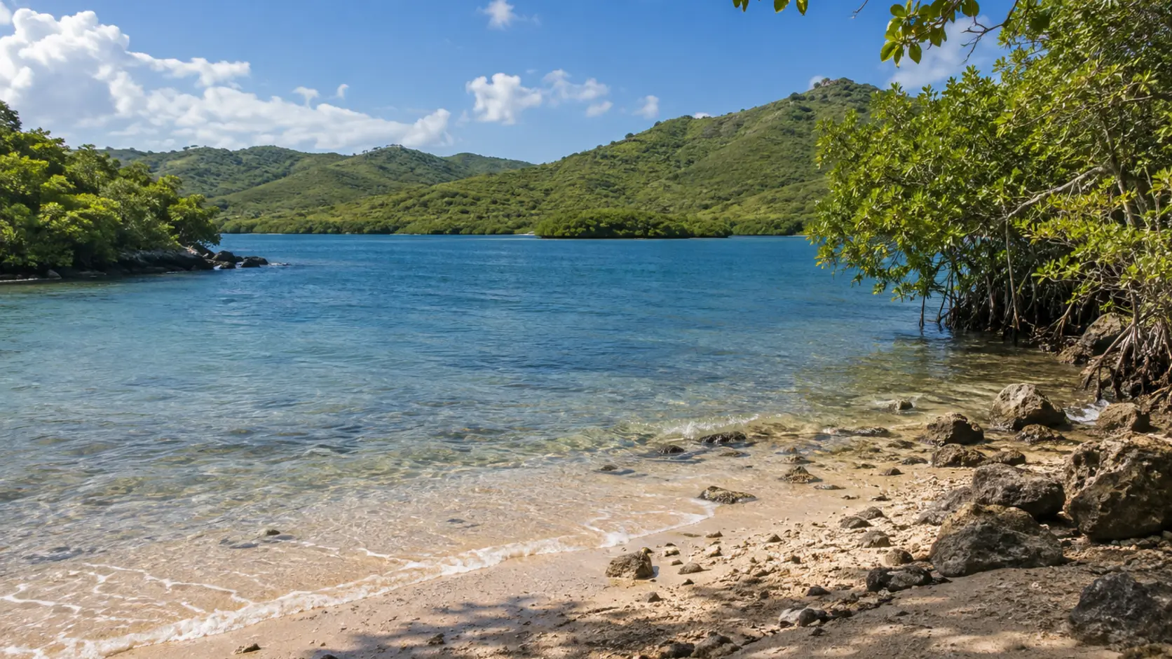
A historically significant bay and ecological preserve where access, currents, and protected resources require careful planning.
Open beach details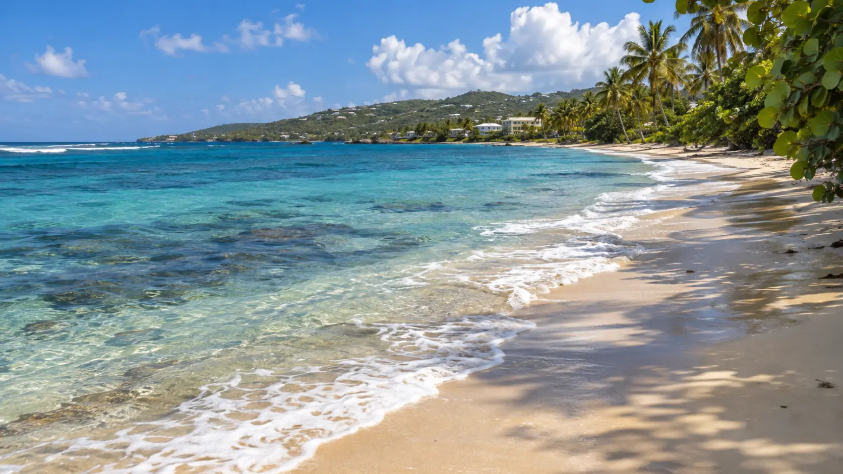
A long north-shore beach fronting resort and residential areas, with reef habitat offshore.
Open beach details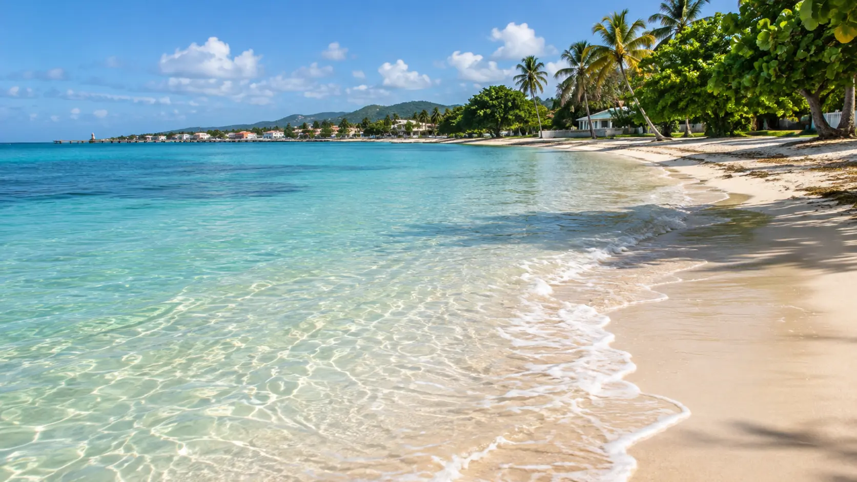
A calm West End shoreline just south of Frederiksted, popular for swimming and sunset views.
Open beach details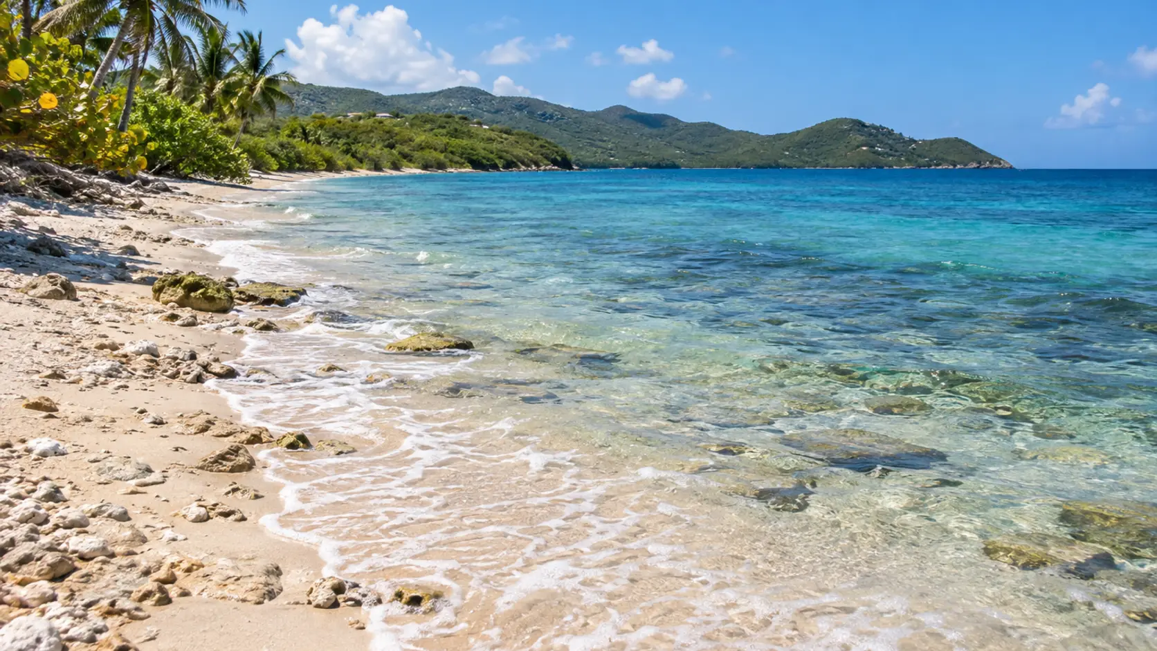
A quieter West End beach near historic estates and resort properties, with open shoreline and sunset potential.
Open beach details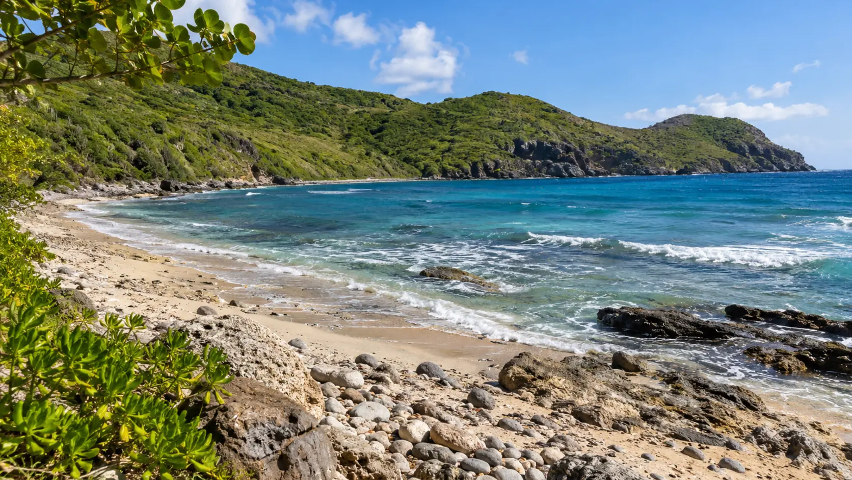
A rugged northwest shoreline near historic estate ruins and dive sites, best visited with local access knowledge.
Open beach details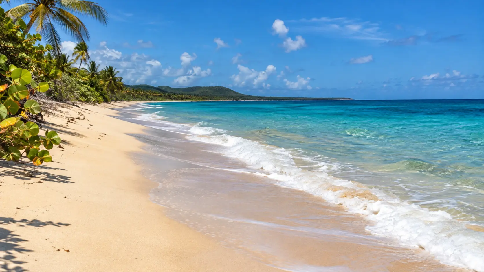
A broad south-shore beach used by local families and riders, with few visitor services.
Open beach details